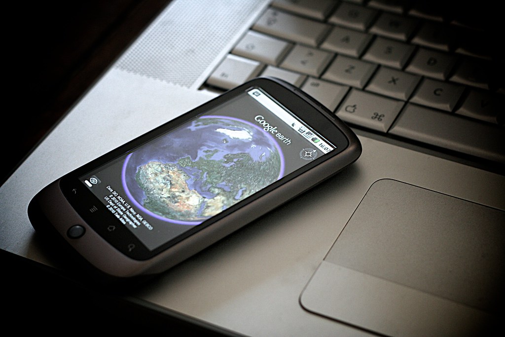
Google Earth’s Historical View and 80 countries’ street-level exploration are made possible by an update to Google imagery.

Recent years have seen one of the largest enhancements for Google Street View. It is currently accessible in around 80 nations, some of which are seeing the first-ever use of Street View photography. The tool allows users to enjoy street-level vistas from the comfort of their home by piecing together billions of panoramic photographs, and it is available on Google Earth and Maps. With the help of its more portable Street View camera, users will be able to reach more attractive spots after the upgrade.
Updates for Google Street View
Google described the upcoming changes to Maps and Google Earth in a blog post. Eighty countries—Australia, Bosnia, Brazil, Denmark, Japan, Liechtenstein, Namibia, Paraguay, the Philippines, Rwanda, Serbia, and South Africa—will now be able to access Street View.The software giant with its headquarters in Mountain View has also launched its newest Street View camera, which it says can be mounted on any automobile that weighs up to 7 kg.
Users will be able to see distant destinations up close with the availability of updated Street View photographs from around the globe.
Additionally, it is attempting to use its artificial intelligence (AI) cloud-removal technology to improve the quality of the imagery on Maps and Google Earth. The business is using its Cloud Score+ AI algorithm to eliminate haze, mist, clouds, and cloud shadows from photos. It will maintain the visibility of weather patterns on the map, including ice, snow, and mountain shadows, in the interim.
Additionally, Google has revealed Earth’s historical imagery. With the use of its archive of satellite and aerial photos spanning up to 80 years, users will be able to investigate the alterations in terrain. Users will be able to comprehend how “forests have been affected by human activity and the changing climate,” according to the business.
To see how places have evolved over time, users can also make use of the Timelapse feature. They will be able to access personalized Google Earth projects straight from a redesigned home screen. Millions of satellite photos were used to create this interactive feature, according to the description.


